Log in
All resources
Create a design
925 Free Images of Nautical Chart
lawrence h. slaughter collection of english maps, charts, globes, books and atlases
nypl lionel pincus and princess firyal map division
maps of north america
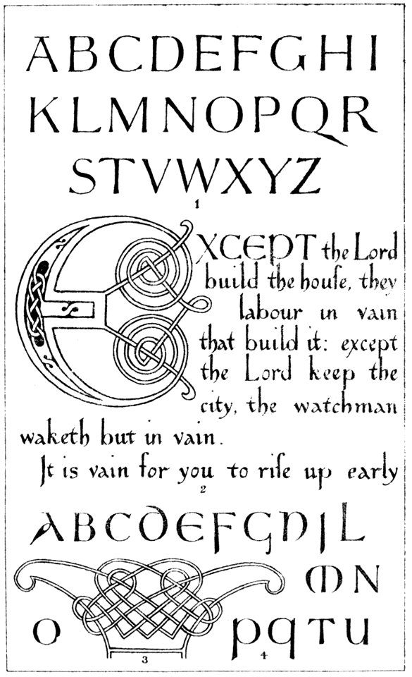
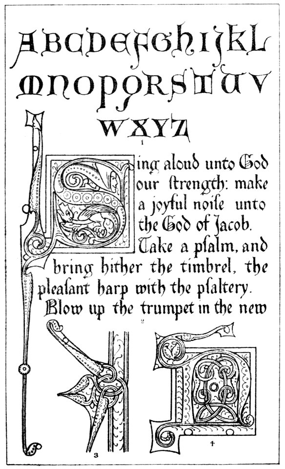
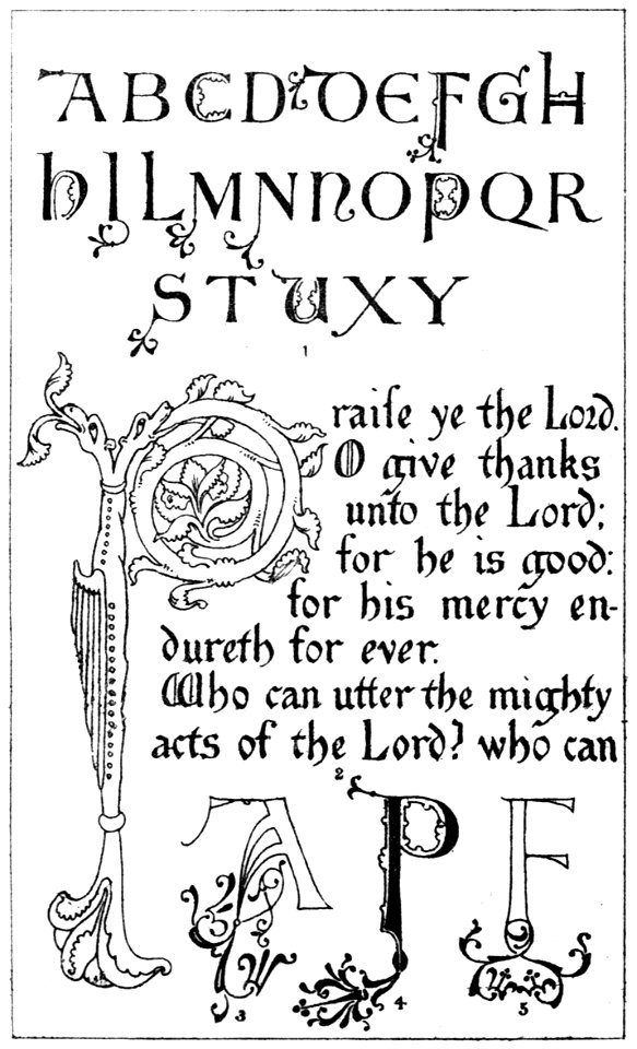
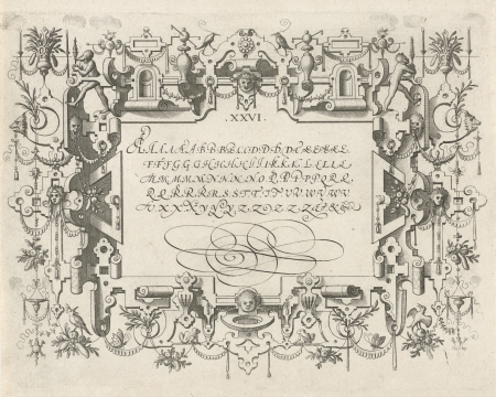
latin alphabet charts
history
theory
and practice of illuminating
carte de l'amérique septentrionale by guillaume delisle (1700)
a map of the provinces of new york and new jersey, with a part of pennsylvania and the province of quebec
a as an initial
prints of cartouches in the rijksmuseum amsterdam
etchings in the rijksmuseum amsterdam
aquatint prints in the rijksmuseum amsterdam
etchings in the rijksmuseum amsterdam
lawrence h. slaughter collection of english maps, charts, globes, books and atlases
nypl lionel pincus and princess firyal map division
les forces de l'europe, asie, afrique et amerique, ou description des principales villes, avec leurs fortifications
portolan charts made in the 18th century
lawrence h. slaughter collection of english maps, charts, globes, books and atlases
nypl lionel pincus and princess firyal map division
lawrence h. slaughter collection of english maps, charts, globes, books and atlases
nypl lionel pincus and princess firyal map division
lawrence h. slaughter collection of english maps, charts, globes, books and atlases
nypl lionel pincus and princess firyal map division
georges clemenceau
1875,
media from atlas of mutual heritage on dutch east india company
portolan charts by willem and johannes blaeu
lawrence h. slaughter collection of english maps, charts, globes, books and atlases
nypl lionel pincus and princess firyal map division
a map of the provinces of new york and new jersey, with a part of pennsylvania and the province of quebec
lawrence h. slaughter collection of english maps, charts, globes, books and atlases
a map of the provinces of new york and new jersey, with a part of pennsylvania and the province of quebec
lawrence h. slaughter collection of english maps, charts, globes, books and atlases
a map of the provinces of new york and new jersey, with a part of pennsylvania and the province of quebec
lawrence h. slaughter collection of english maps, charts, globes, books and atlases
history
theory
history
theory
lawrence h. slaughter collection of english maps, charts, globes, books and atlases
nypl lionel pincus and princess firyal map division
lawrence h. slaughter collection of english maps, charts, globes, books and atlases
nypl lionel pincus and princess firyal map division
les forces de l'europe, asie, afrique et amerique, ou description des principales villes, avec leurs fortifications
maps of the history of poitou
a map of the provinces of new york and new jersey, with a part of pennsylvania and the province of quebec
lawrence h. slaughter collection of english maps, charts, globes, books and atlases
a plan of the operations of the king's army under the command of general sr. william howe, k.b. in new york and east new jersey, against the american forces commanded by general washington, from the 12th. of october, to the 28th. of november 1776
battle of white plains
history
theory
history
theory
a plan of the operations of the king's army under the command of general sr. william howe, k.b. in new york and east new jersey, against the american forces commanded by general washington, from the 12th. of october, to the 28th. of november 1776
iona island (new york)
history
theory
statewide opinion polling for the democratic party presidential primaries, 2008
south carolina democratic primary, 2008
901 - 925 of 925
/ 10


![North America: based on the observations of Mrs. de l'Académie Royale des Sciences & some others, & on the most recent memoirs, 1700 [i.e. 1708]](https://cdn.creazilla.com/illustrations/10001447935/north-america-based-on-the-observations-of-mrs-de-lacadmie-royale-des-sciences-some-others-on-the-most-recent-memoirs-1700-ie-1708-md.jpg)